Test Pits and Trenches
Excavations on the ground surface for in situ examinations of surface soil, rocks, or any other geologic formations.
Adits
Horizontal excavations help to drain water from mines and also serve as an entrance and ventilation. Mainly used for the exploration of rocks, and their structural features.
3. Geophysical Methods of Groundwater Detection
Scientific measurements of differences or anomalies of physical properties within the earth’s crust. The most commonly measured properties by the geophysical method include; Electric resistivity, density, magnetism, and elasticity. Some geophysical methods can be briefly described in subsequent sub-sections.
Gravity Method
The gravity method measures the difference between the gravitational fields at two points in a series of different locations on the earth’s surface and the variation thus associates with the type of rock
Magnetic Method
This method involves the measurement of the direction, gradient, or intensity of the earth’s magnetic field. It uses a simple principle of balancing the force.
2. Fresh Result 1
Long-range system

The latest device to detect underground water and artesian wells.
Freshwater Search system – Natural water search system – this version is characterized by several functions. You can choose the required range by adjusting the choices for the range of the device meters perpendicular.
Mode Of Operation
After settings, the parameters and starting the process of detection: the device then starts to send and receive special frequencies to detect the target type that you chose from the list.
When the device receives a signal, it then automatically tracks the signal toward the target and turns towards the target referred to by both sender and receiver antenna of the signal.
After, reaching the target center, the device then wraps in a circular motion which means the device confirmed the target.
The depth of the device also reaches up to 1200 meters under the ground.
FRESH RESULT 1 SYSTEM, the device is one of the best German devices with European CE certification according to international specifications in addition to the international ISO 9001 certificate.


3. PQWT Geophysical system
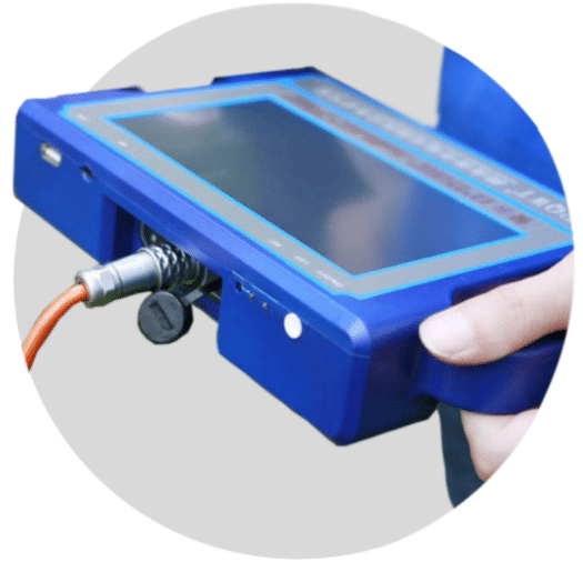
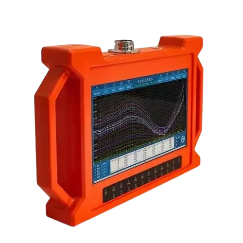
PQWT automatic mapping water detector is based on the Earth’s electromagnetic field as well as the field source. Based on the difference in conductivity and by studying the variation law of the electric field components at different frequencies, to study the geological structure and changes, and also to find groundwater resources by scientific method.
Changes in the geological structure are displayed in real-time through multiple curves. Automatic form mapping geological profile by one key operate easily, get rid of complicated computer graphics. The site can quickly understand the geological structure through the automatic mapping curve and profile, and analyze specific information such as aquifers, fractures, faults, and caves. And also used in the rapid analysis of geological structure changes in different terrains such as plains, hills, mountains, plateaus, and basins to determine well locations, aquifers, and aquifer depth.
Applications of PQWT water detector
1. Apply to property management companies, water supply companies, heating companies, fire company pipes leak detection.
2. Be suitable for different kinds of underground metal and non-metallic pressure piping, and also works on different soil like concrete land, and soft soil too.
3. Combine the dual-mode function of acoustic vibration with spectrum thus determine accurate leakage.
4. Setting the function of both rough measurement and accurate measurement to lock the leaking point.

Sample പ്രൊഫൈൽ Map
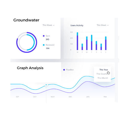
താഴെ കാണിച്ചിരിക്കുന്ന Sample ഗ്രാഫിൽ നിന്നും മനസ്സിലാക്കാൻ പറ്റുന്ന കാര്യങ്ങൾ എന്തൊക്കെയാണെന്നു നോക്കാം
START


Pro Tip !
PQWT is the Best Product Available in the market right now which can be used as a Perfect Geophysical system. In our Experience, We are getting 93% Of accurate Data from This Device
Let us see what can be seen from the sample graph below
Call Us before Digging
+91 70 12 05 19 37
( Mon–Fri : 9:00am–6:00pm IST )


